Outdoor Recreation Map Toolkit
Create an Outdoor Recreation Map for Your Destination
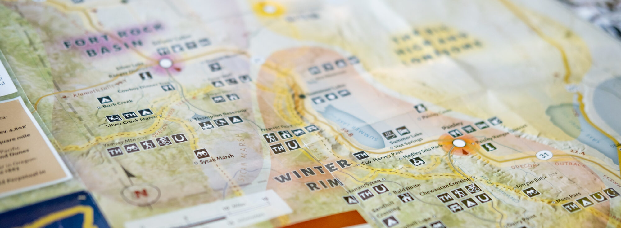
Did you know paper maps are one of the most commonly requested items at Oregon’s Visitor Centers and the Chamber of Commerce locations throughout the state? Highlight the abundance of recreation destinations in your region without recreating the wheel by utilizing this thorough Outdoor Recreation Map Toolkit from Travel Oregon.
View examples of outdoor recreation maps created using this template:
- Illinois Valley Gateway to Wild Rivers & Ancient Forests Outdoor Recreation Map
- Heart of the Valley Outdoor Recreation Map (Benton County)
The toolkit and supporting process handbook provide helpful information and templates for the following project components:
- Project timeline and touchpoint calendar
- Expected budget range and its components
- Engagement with important stakeholders from recreation leaders to land managers
- Collaborative and community-driven inventory of high-value recreation assets
- Photography and written content
- Detailed style libraries and templates to design the map
- Online landing page that links to more resources for each recreation asset
- Map distribution to travelers to your region
The process to develop and design an Outdoor Recreation Map typically takes five months and communities should budget $6,000 – $20,000 for the project, depending on variables and scope. More information on project timelines and budget is available in the process handbook and toolkit.
Interested in learning more and gaining access to the full toolkit? Contact development@traveloregon.com.